Mapping Infrastructure / Mapping Agriculture
Date:
Jan 20, 2026,
(all day)
Duration -
186 days
Location - Brunnier Art Museum, Iowa State University, Ames, IA
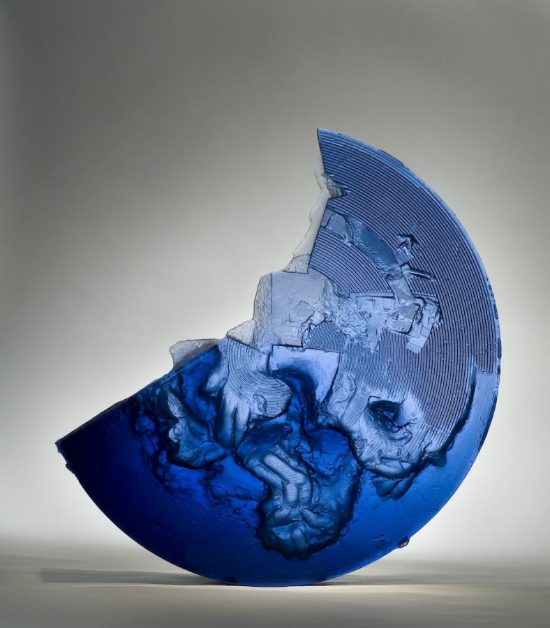
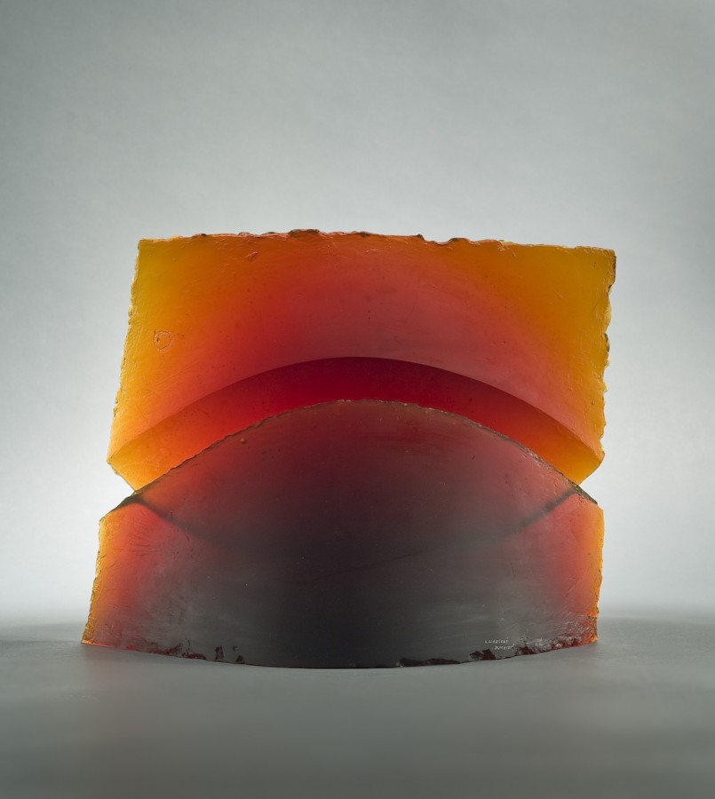
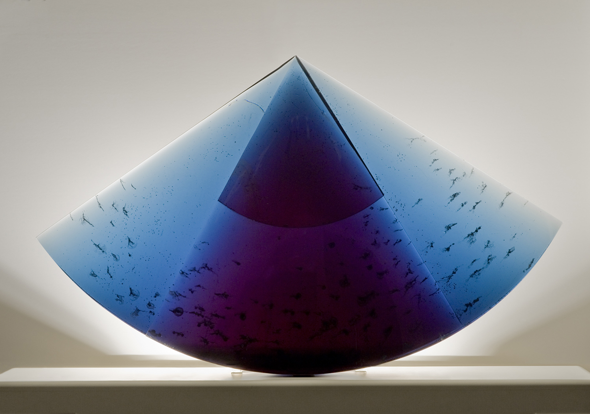
Mapping Infrastructure / Mapping Agriculture presents sculptures and visual explorations examining manufacturing history in U.S. cities and projected land loss due to sea level rise. The exhibition debuts a new commission for University Museums’ permanent collection: cast glass sculptures incorporating Iowa State’s 1860 Farm House and Agronomy Hall with topographical maps examining the past, present, and future of agricultural research and stewardship at Iowa State University.